By Randy Zellers
Triple-digit temperatures are approaching, and most of the fishing along the banks of reservoirs in Arkansas is becoming a matter of putting in a lot of sweat for little reward. Anglers, especially crappie anglers, are finding the most success following the fish to deeper water. Once they do, they’re likely to find massive schools of fish clinging to brush and other cover only visible with the use of sonar equipment.

John Duncan, a resident of Sheridan and operator of Yoyo Guide Service, spends hundreds of days on the water at DeGray Lake in Clark County chasing crappie with his clients. He has been guiding on DeGray for nearly a decade, but has a lifetime of fishing experience at the 13,800-acre reservoir.
“I took over the guiding business after Tammy Richardson retired,” Duncan said. “I used to fish with her, then transitioned into guiding in her spot. She was on the women’s Bassmaster Tour while it was around, but later became a guide here on DeGray. Her son, Dustin Holmes, still guides on Lake Greeson.”
Duncan says that once the fish move offshore in summer, there’s a window where they gather up on brush piles before transitioning to the river channel and open water. During this time, anglers who know how to target them can load a boat quickly and enjoy some of the most fun action of the entire year.
“It can even be more fun than when the fish are up shallow, because you can find a bunch of fish in one spot instead of fishing from tree to tree and stump to stump to catch your limit,” Duncan said. “It’s all about finding brush piles that guides like me or the AGFC have sunk over the years and looking for crappie suspended in the branches.”

Find the ’cline
The first thing anglers can do to start looking for productive water in early summer is to look for the thermocline. In deep reservoirs during summer, the water will begin to stratify, separating into two distinct layers. The colder water will sit on the bottom, while warmer water will remain in the upper third or so of the water column. The region where the two zones meet is known as the thermocline, and it’s like the Goldilocks zone for fish.
“Most fish, including crappie, don’t stay below the thermocline because it doesn’t have enough oxygen for them to survive,” Duncan said. “But most fish still want to be as deep as possible during the heat of summer, so the fish tend to stack up right in that zone where the two types of water meet. The difference between the two layers is so much, you can even see it on a fishfinder.”
Duncan points out that the thermocline typically sets up from 20-25 feet deep in much of the portion of DeGray he fishes in early summer. If rain or current increases in the lake, the thermocline can shift, but it remains at a relatively constant depth once established.
“Any brush piles I know that are deeper than the thermocline are automatically written off,” Duncan said. “And I’m going to start looking at the ones sitting right at that depth or just above it. Some fish might go a little shallower, but the big schools I want to target for clients are almost always right in that zone.”
Down periscope
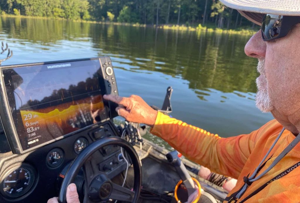
Duncan uses a combination of traditional sonar and forward-facing sonar to scan brush piles that he has stored in his fishfinder’s GPS system. If he sees a few fish show up on his first scan from the console of the boat, he’ll lower his Livescope system into the water, which shows much more accurately just how many fish are holding in the area.
“Once you figure out what you’re looking for, the fish stand out like crazy on the screen,” Duncan said. “And this time of year, you may find brush piles with 100 to 150 crappie suspended all around it. It’s really amazing to see the fish this way, and because it’s in real time, you can watch how the fish react to your bait, your boat and anything else you notice in the water.”
Mind your minnow
Some “Livescopers” have perfected their craft to the point that they only chase crappie with a single pole and a single crappie jig, but Duncan’s approach for early summer has remained unchanged for the last decade.
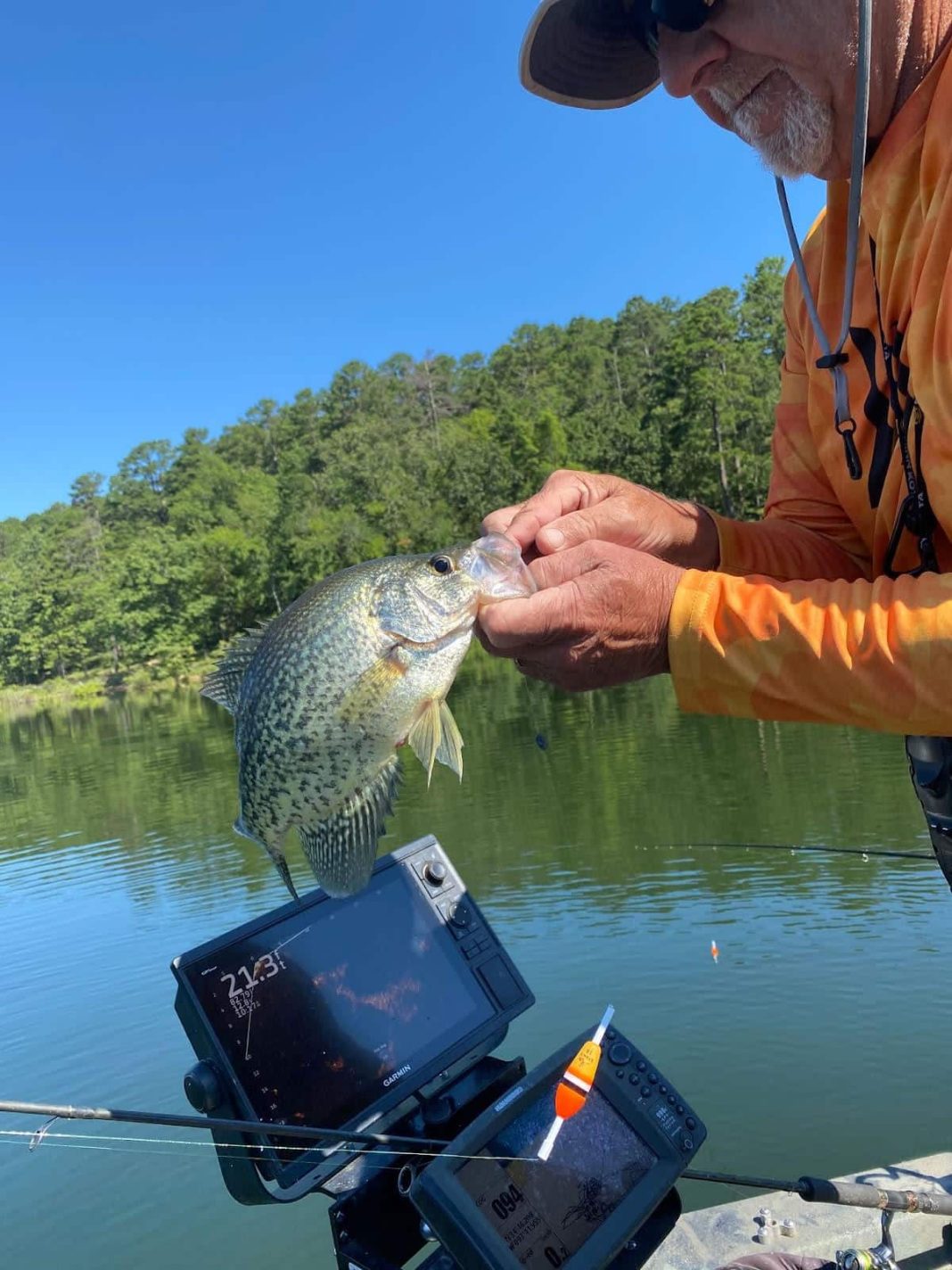
“Even if I can chase a single fish with a soft-plastic jig on a 14-foot pole, teaching a client to do it in a 4-hour trip would take away from the catching. I’ve learned that the people who fish with me still prefer watching that bobber go down, so I fish live minnows under slip floats.”
Duncan sets the depth of the minnows to within a foot or two of the top of the brush pile. If the fish move deeper into the brush, he may set a pole or two deeper, but never below the level of the fish.
“Crappie feed up,” Duncan said. “They may follow a bait down on the initial drop, but it’s rare to see one swimming along above your bait and suddenly drop down to it.”
After using live-imaging sonar for about five years, Duncan can tell you that crappie almost always shy away from the boat as it draws near. Fish that were suspended 6-7 feet over a brush pile will slowly slide down the water column as the boat’s shadow draws near.
“Sometimes they’ll settle down and come back up, but you usually see them stick tighter to brush when you’re fishing right over them,” Duncan said. “I’ll get all the poles and minnows in place and slowly troll over the top of the brush, then stop and let the minnows suspend right on the tip of the fishes’ noses.”
Stick and move
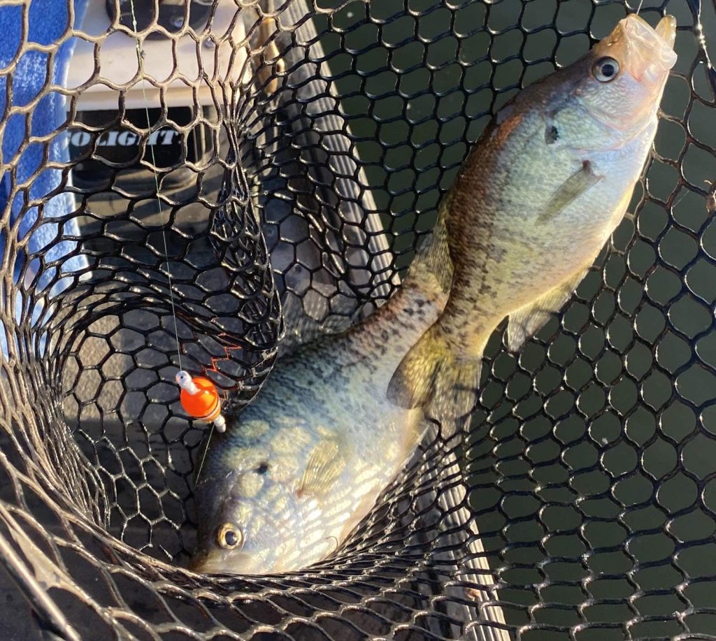
Once the minnows are in place, the action usually happens fast. Duncan will point out fish moving up to his clients, but the excitement of watching a cork go underwater never dies.
“The cork is really there to keep the minnow at the exact spot I want, but it’s just plain fun to watch a bobber go under and yank back on a fish,” Duncan said. “It’s also a great way for clients to catch fish without really needing to know what to feel for.”
The entire time anglers are watching the bobbers, Duncan is glancing at the his sonar screen to judge if the fish are moving away, sinking into the brush or coming up to investigate the baits.
“What livescope has really done for me is to be able to read the fish’s reaction and know if they’ll bite or if I need to move on,” Duncan said. “When I have clients with me, I don’t want to just sit there and wait out one or two fish in a school of 50 or 100. If they’re not acting interested in my minnow after 15 or so minutes, I’m picking up and moving to the next spot.”
And Duncan has plenty of spots to try. Within 4 hours, he may cover a half-dozen or more brush piles. If he finds a hot spot, he’ll stay and play. But some days may mean catching two or three active fish and moving on to make sure he gets plenty of fish for the frying pan. With more than 800 fish attractors pinpointed on DeGray Lake alone, he has plenty of options to choose from.
Action attractors
Although Duncan has placed his own fish attractors with permission from the Army Corps of Engineers, he also has fished many of the attractors that the Arkansas Game and Fish Commission has placed.
“I didn’t sink all of the brush I fish,” Duncan said. “I’ve found some while scanning points and creeks, and there are some good attractors from the AGFC out there. You just have to remember that some will be good, some will be bad. It takes a lot of trial and error to find the sweet ones.”
When asked how many of his brush piles become honey holes, Duncan explains that he’s learned to focus on the winners.
“If I tried to pick 10 new places, maybe four would turn out good,” Duncan said. “But over the years I’ve built a list of good ones and spend my time refreshing those brush piles to keep them going. I may try a few new places, but it’s amazing. Sometimes you’ll have two brush piles that are in nearly identical places, just on one side of a ditch or the other, and one will be a hero while the other never really holds any fish.”
Anglers looking for some free waypoints have two good ways to get started. They can visit www.agfc.com and search for “Fish Attractors” in the search bar. This will pull up a list of files that can be plugged into any GPS-capable fishfinder. A handy video on the page will explain exactly how to load the files into your particular fishfinding unit. The second way to gather some free waypoints is to pull up the AGFC’s Interactive map at www.agfc.com/maps. Once you zoom into the lake you’re interested in, you will see some blue-and-white fish symbols. If you click on the specific symbol you’re interested in, a description of the attractor and its GPS location will appear on the screen. Enter these into your phone’s mapping software and you’ll be able to navigate to the brush pile, even if you don’t have a fishfinder.


